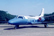
Cessna Citation II aircraft equipped with CCNS (computer controlled navigation system) utilized in the aerial photography operation of National 1:50,000 Base Mapping Project.
|
Cessna Citation II aircraft equipped with CCNS (computer controlled navigation system) utilized in the aerial photography operation of National 1:50,000 Base Mapping Project. |
v Aerial Camera
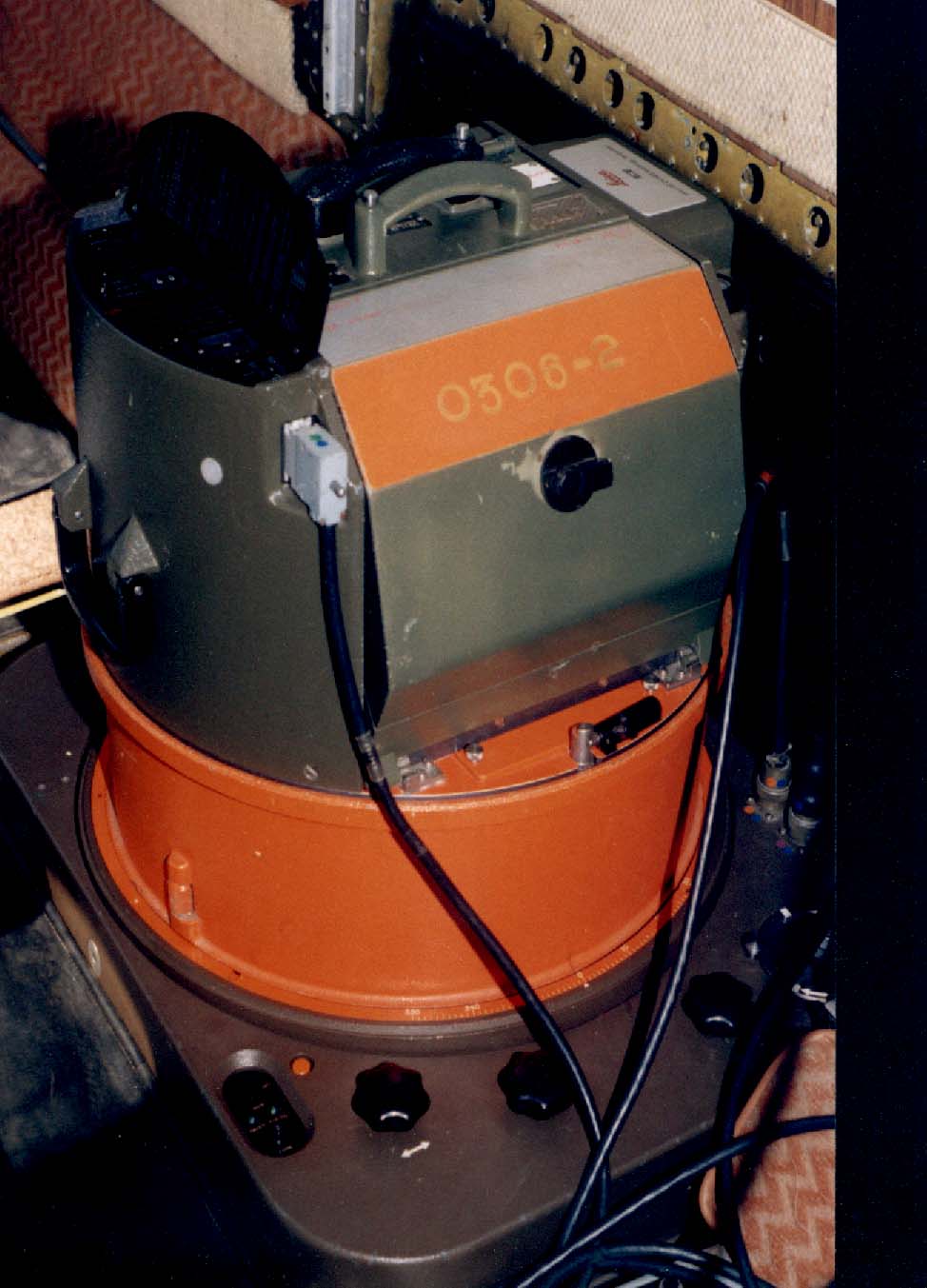 |
Sophisticated Swiss camera Technology (Leica RC20/ RC30). High quality aerial photographs taken by these cameras with high accuracy and precision are fundamental for producing quality maps. Ultracam D will be used for our photography operations in the future. |
v High Resolutions Color films
Suntac Technologies is committed to achieve significant savings for its clients by utilizing the latest quality films
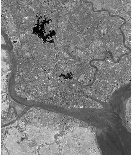
v GPS satellite positioning
| Precise DGPS satellite positioning provides a correct camera scope and accurate positions for each photo centre. It ensures minimum ground controlled points, faster mapping throughputs as well as accuracy and quality. |
v Inertial georeferencing
| Suntac Technologies operates leading edge inertial positioning technology interfaced with our camera system. The benefits are savings in ground control, reduction in aerialtraingulation and the ability to operate even in extremely complex areas. |
v Scanning
| This flat-bed and roll feed scanners provides repaid throughput, high accuracy and exceptional quality. It suits any photogrammetric mapping purposes. | 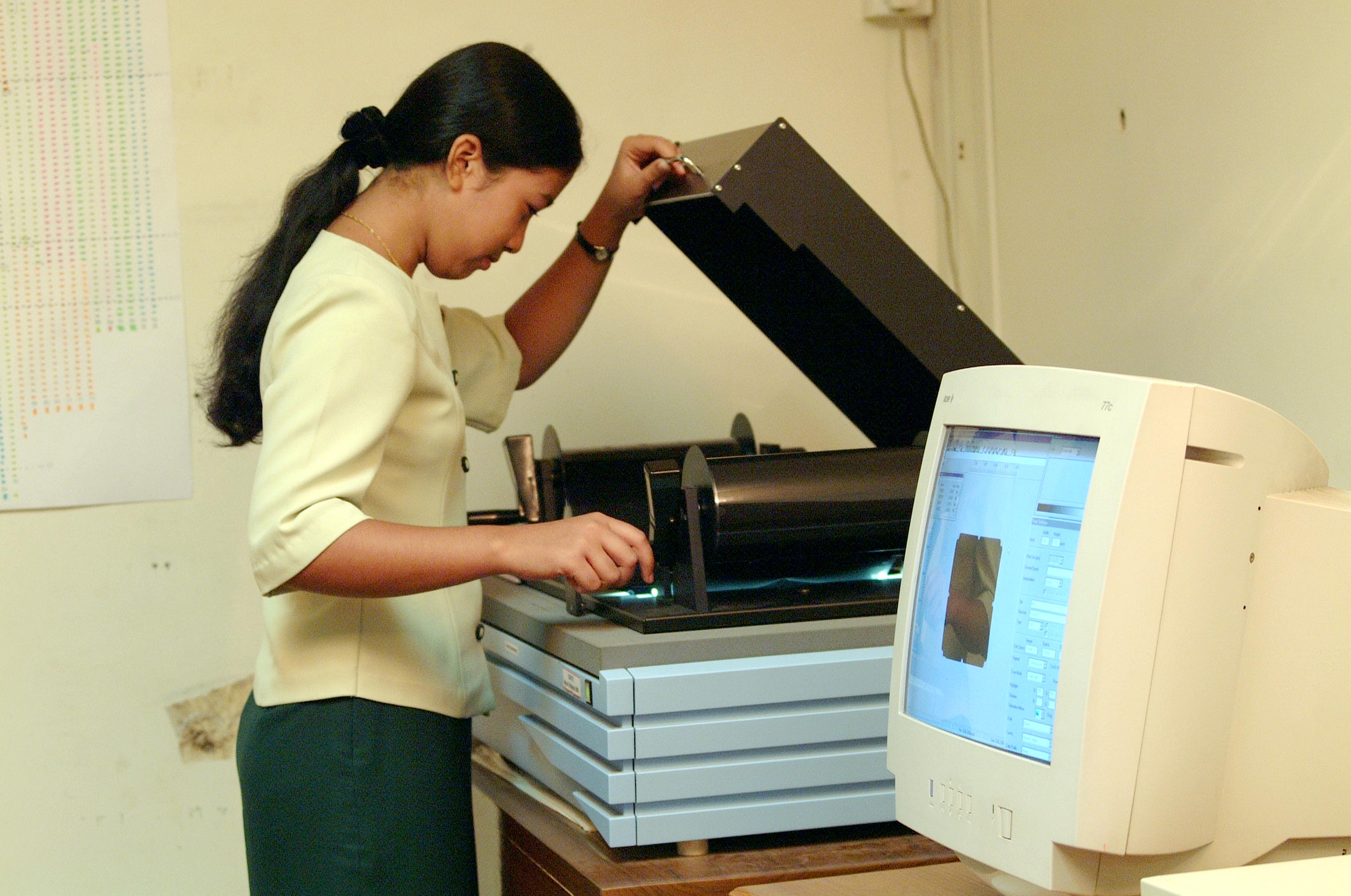 |
v Imaging Services
 |
 |
|